The Revenue Mobilisation Allocation and Fiscal Commission (RMAFC) has commenced the verification of disputed and newly drilled oil and gas fields in the Niger Delta region.
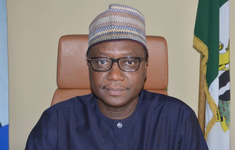
Leading the exercise on Monday at the Aneize oil field in Okpai, Delta State, RMAFC Chairman, Dr. Mohammed Shehu, said the move was prompted by several petitions from affected states.
According to Shehu, the commission, in collaboration with relevant sister agencies, inaugurated an Inter-Agency Technical Committee to identify the precise locations of oil and gas fields and wells within the disputed territories.
“The RMAFC, in collaboration with sister agencies, embarked on this inspection with a view to addressing boundary issues,” Shehu said. “We are reaffirming our commitment to accurately identifying the locations of crude oil and gas fields and wells within the disputed areas and the newly drilled wells.”
The committee includes representatives from the Nigerian Upstream Petroleum Regulatory Commission (NUPRC), the Office of the Surveyor-General of the Federation, and the National Boundary Commission.
Citing Paragraph 32 (a) of Part 1 of the Third Schedule to the 1999 Constitution (as amended), Shehu noted that RMAFC is empowered to monitor accruals into and disbursement of revenue from the Federation Account.
He explained that governors of Anambra, Imo, and Delta States had raised formal concerns about the rightful ownership of certain oil and gas assets, notably the Aneize oil field within OML 143, as well as the Eyine and Ameshi fields.
“During our stay in Delta State, the Inter-Agency Technical Committee will thoroughly examine these matters, verifying the coordinates of newly drilled oil and gas wells from 2017 to date,” Shehu stated.
The RMAFC chairman added that the verification exercise would also cover Rivers, Akwa Ibom, Bayelsa, Ondo, and Edo States.
“Central to our mission is the meticulous verification of coordinates for crude oil and gas fields and wells. This exercise will rely on geospatial data provided by the NUPRC, which will be validated and plotted in the presence of surveyors from the affected states,” he said.
Shehu stressed that the initiative is aimed at ensuring fairness and transparency in the allocation of oil revenues, particularly the 13 percent derivation fund.
“The decision to map and verify the coordinates of crude oil and gas wells represents a strategic measure to resolve longstanding disputes. It is essential to guarantee that every oil-producing state receives its rightful share, thereby reducing tensions and safeguarding the integrity of the Federation Account,” he concluded.


